National American Indians and Alaska Natives (AIAN)
Geospatial Map Tutorial
Thank you for exploring our AIAN geospatial map.
If you have questions about the Bureau of Indian Affairs (BIA) data, email: Geospatial@bia.gov.
Please feel free to email any additional questions or comments regarding the map to: Open.Government@ssa.gov.
You can explore the map using the navigation tools located on the map.
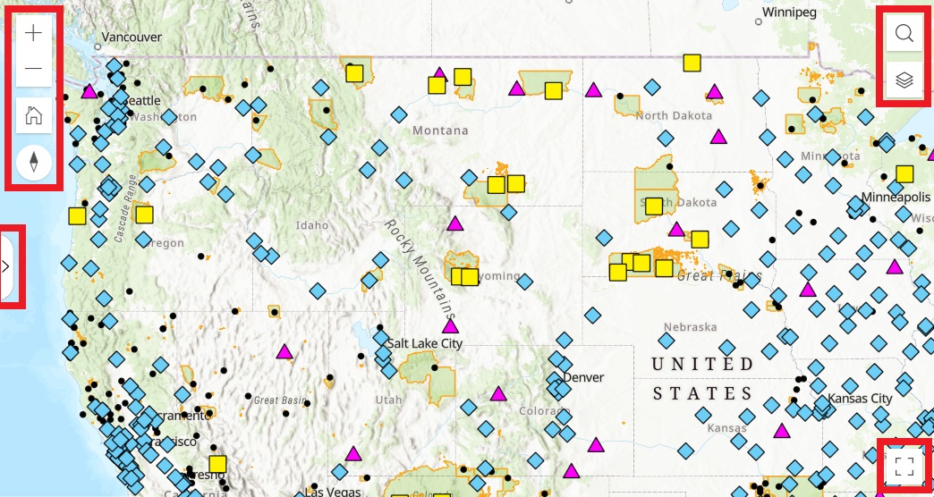
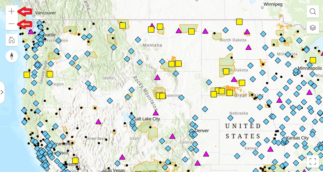
Use the (+) or (-) navigation keys to zoom in or zoom out on the map.
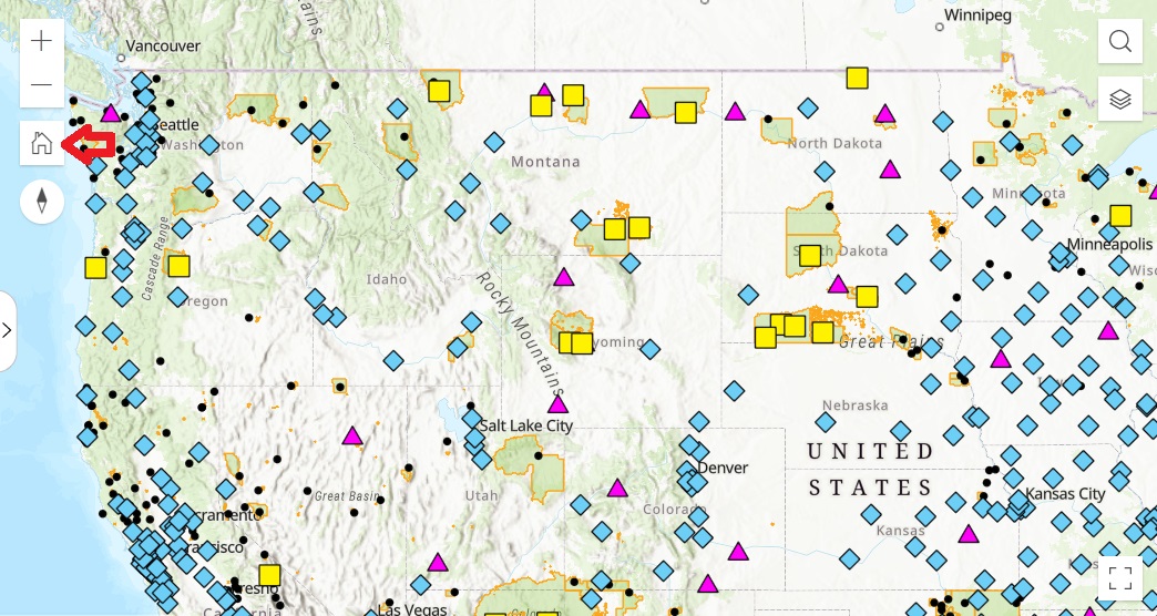
Use the (home) button to return the map back to its default (initial) view.
Use the (compass) button to set north as up on the map.
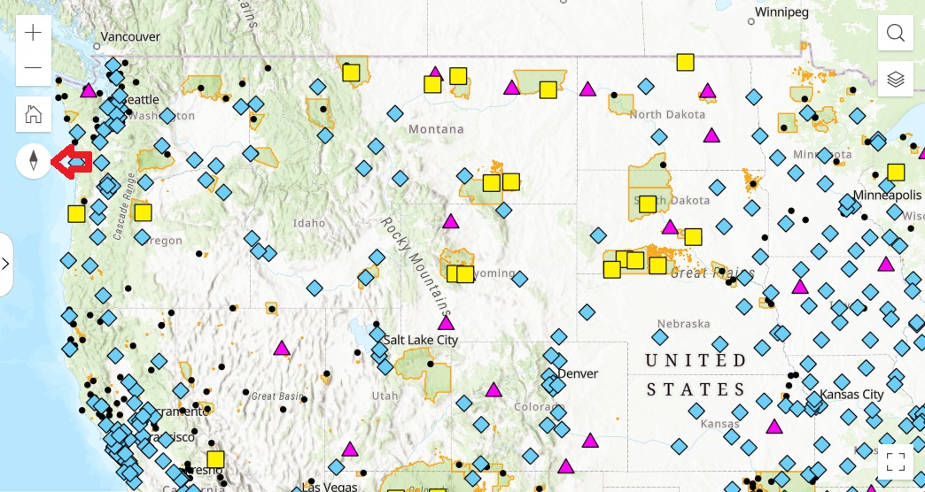
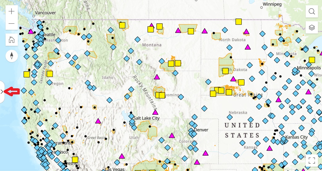
Use the (arrow) button to collapse or expand the map's sidebar.
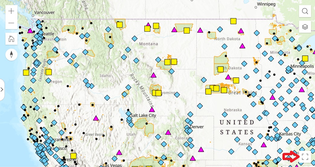
Use the (square) button to toggle full screen on and off.
Note: If you click and hold the left button on your mouse, you can move the map. Also, you can use your mouse wheel to zoom in and zoom out.
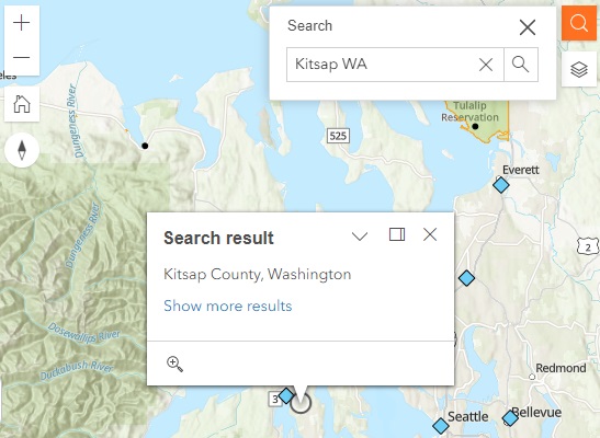
Use the (search) button to find a location.
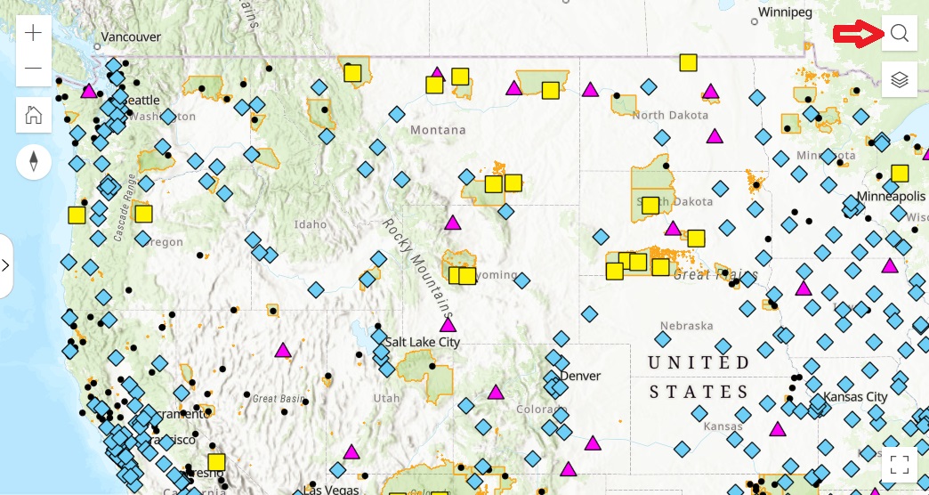
Click on the magnifying glass to open the search box.

Type in the desired zip code or city and state. Press ENTER or click the magnifying glass button to automatically recenter the map and zoom to the entered location.
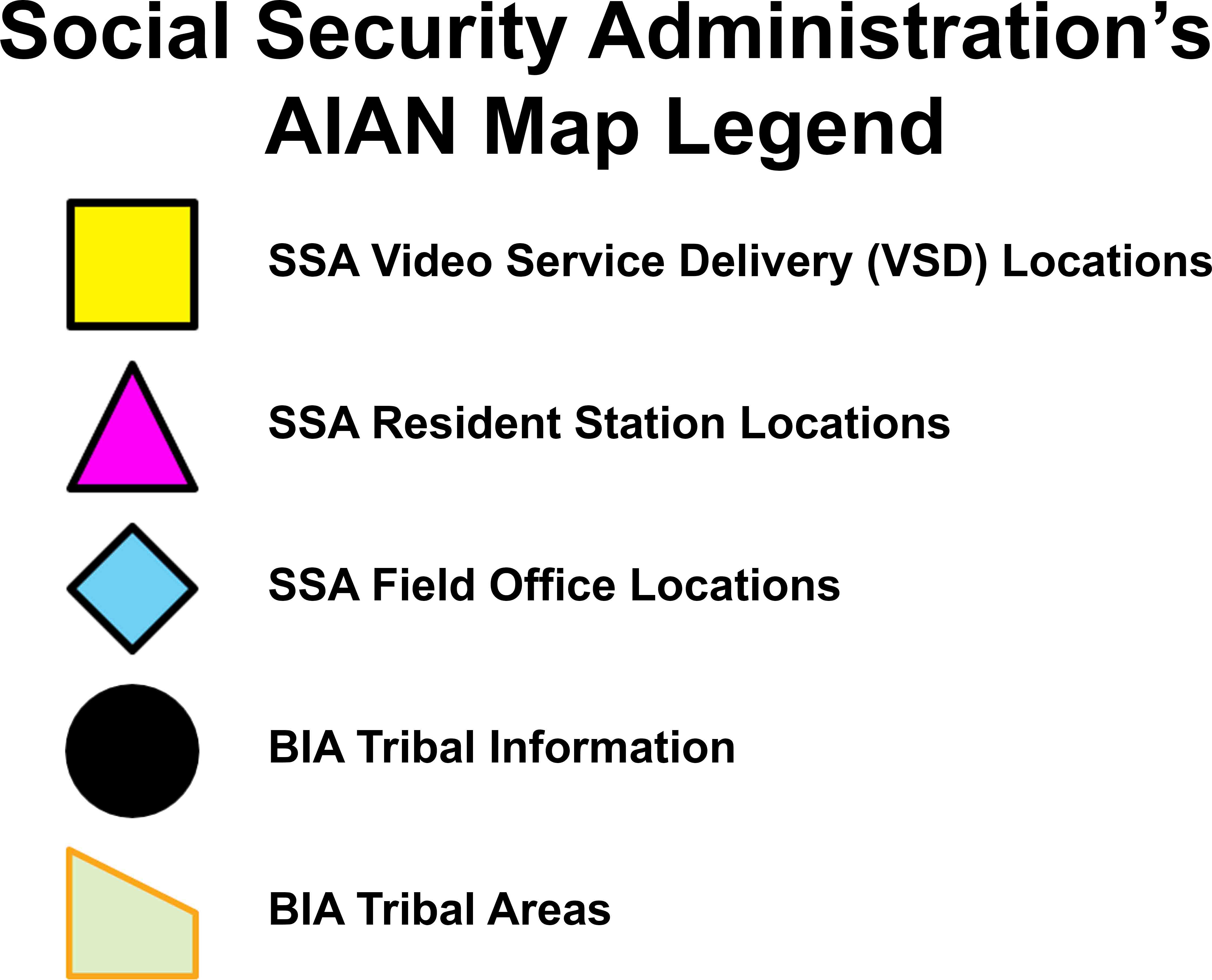
Refer to the map legend for the symbols used on the map.
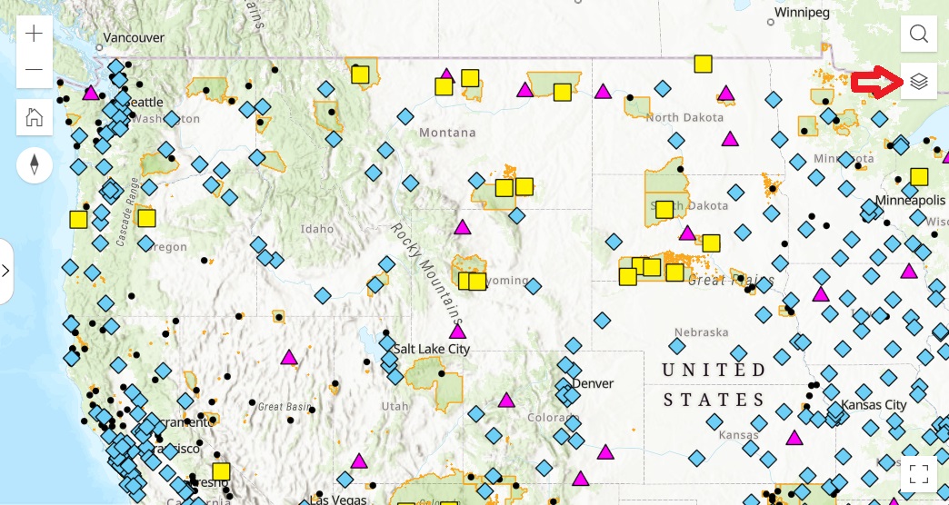
Note: If no symbols are visible on the map, you may need to zoom in or zoom out.
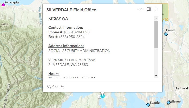
Click on any symbol on the map to reveal a pop-up box with additional information regarding that feature.
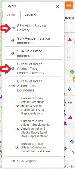
Use the (layers) button to view the layers on the map.
Use the (eye) button to toggle map layers on and off.
